

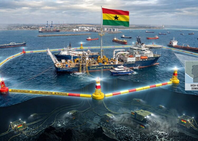
GoldCoast Resource Corp. has been granted a series of 10 contiguous Offshore Reconnaissance Licenses covering approximately 10,000 square kilometres along Ghana’s western offshore continental shelf.
The License Area extends along approximately 300 kilometres of coastline, stretching from Half Assini in western Ghana eastward to Winneba.
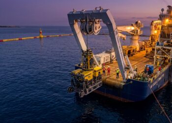
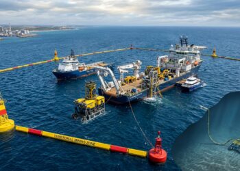
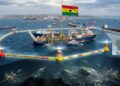
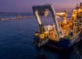
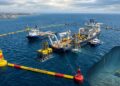
Covering approximately 53% of the nation’s total offshore coastline, these exclusive licenses empower GoldCoast Resource Corp. to perform targeted airborne and marine geophysical surveys, bathymetric mapping, seismic surveys, magnetometry, coring, and sediment sampling to locate valuable marine mineral deposits.
“GoldCoast Resource Corp. ‘GoldCoast’ or the ‘Company’ is pleased to announce that it has been granted a series of 10 contiguous Offshore Reconnaissance Licenses (collectively, the ‘Licenses’) covering approximately 10,000 square kilometres along Ghana’s western offshore continental shelf (the ‘License Area’). The Licence Area covers approximately 53% of Ghana’s total offshore coastline. The Licenses provide GoldCoast with the exclusive right to conduct offshore reconnaissance activities, including airborne and marine geophysical surveys, bathymetric mapping and seismic surveys, magnetometry, coring, and sediment sampling, for the purpose of identifying areas of mineral potential.”
GoldCoast Resource Corp
Strategic Expansion into Marine Mineral Exploration
Ghana’s extractive domain has historically centered on onshore mining across traditional greenstone belts, such as the Ashanti and Sefwi gold belts.
The shift toward marine reconnaissance represents a strategic frontier for the nation’s mining sector. By exploring shallow-water offshore zones, mineral exploration moves into dynamic underwater basins that collect millennia of alluvial runoff from major inland river systems.
GoldCoast Resource Corp.’s exploration initiative aims to uncover non-traditional offshore reserves.
Primary economic targets include detrital gold and associated heavy mineral sands, which accumulate in marine sediments through natural fluvial transportation and depositional processes.
Geological Imperative and Regional River Catchment Dynamics
The decision to survey this vast stretch of marine shelf relies on established geological mechanisms. Rivers draining the mineralized inland terranes continuously carry weathered gold particles, ilmenite, rutile, zircon, and magnetite down toward the Atlantic Ocean coast.

Over geological timescales, coastal shelf currents, longshore drift, and sea-level changes have concentrated these dense minerals into marine placers along the seabed.
Conducting systematic high-resolution geophysical mapping and sediment coring allows geologists to identify submerged paleochannels and shelf depressions where economic mineral deposits accumulate.
National Economic Impact and Sustainable Extractive Horizons
Exploratory activities along 53% of Ghana’s maritime perimeter provide data to evaluate the economic potential of the offshore continental shelf. Offshore reconnaissance helps broaden the national extractive portfolio beyond traditional open-pit and underground operations.
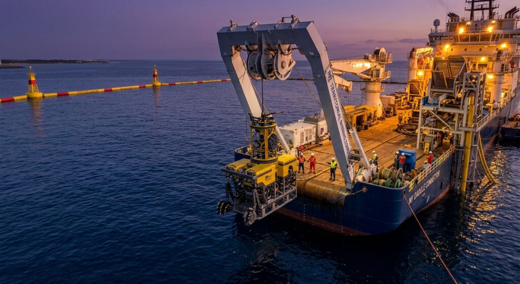
Systematic mapping and marine sediment sampling establish early baseline data for marine resource management. Evaluating offshore mineral potential strengthens Ghana’s long-term resource security, supporting modern mineral exploration practices while diversifying national extractive assets.
READ ALSO: Ghana’s Credit Surge Outpaces Industrial Output Growth