

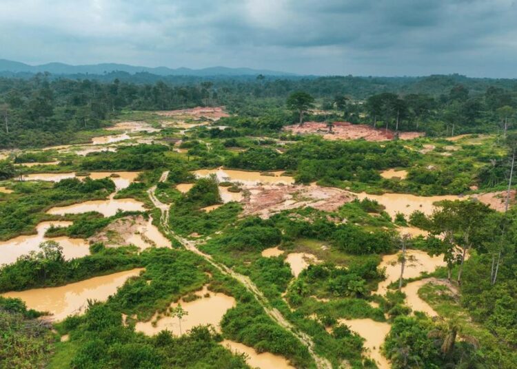
Lukman Boakye Adams, a Ghanaian researcher at Hokkaido University in Japan, has revealed in a doctoral study that mining activities across the broader Atewa landscape expanded at an annual rate of 12.3% between 2018 and 2023.
Using high-resolution PlanetScope satellite imagery combined with geographic information systems (GIS), the investigation mapped land-use dynamics and established that at least 49.7% of all annual mining operations in the surrounding region occurred within 100 metres of river channels.
“Mining activities in the Atewa Range Forest Reserve landscape increased at an annual rate of 12.3% between 2018 and 2023, while at least 49.7% of mining activity each year occurred within 100 metres of river channels. Although mining activity increased across the broader landscape, the research found a decreasing trend in mining activity within the forest reserve itself, recording a rate of change of -21.4%. The study also found that 0.7% of mining activities occurred within a 100-metre buffer around the reserve, pointing to the threat of mining encroachment near the protected forest.”
Lukman Boakye Adams
The study titled “Assessment of the Effects of Anthropogenic Activities on Forest Resources Using Remote Sensing and GIS: A Case Study of the Atewa Range Forest Reserve in Ghana” highlights significant spatial variation between the core protected area and its surroundings.

While extractive expansion accelerated across the wider landscape, mining operations inside the Atewa Range Forest Reserve itself registered a decreasing trend with a rate of change of -21.4%, signaling irregular patterns of illegal or artisanal operational shifts.
Furthermore, satellite mapping detected that 0.7% of mining activities occurred within a strict 100-metre buffer around the reserve boundary, pointing directly to persistent encroachment threats along the edge of the protected forest ecosystem.
Canopy Disturbances and Ecological Metrics
To assess early-stage ecological degradation, the researcher utilized Sentinel-2 satellite imagery to track small-scale forest canopy disturbances, which frequently serve as a precursor to large-scale deforested clearings.
The spatial analysis revealed ongoing deforestation trends and expanding canopy gaps over time, although data from 2024 recorded a noticeable reduction in gap coverage, suggesting localized forest canopy regeneration.

These structural disturbances were concentrated predominantly near forest boundaries and river systems, showing strong correlations with elevation and slope dynamics.
The remote sensing models identified that the highest density of canopy gaps occurred on west-facing slopes, a geographic pattern indicating targeted human activities such as illegal selective logging and artisanal resource extraction rather than natural windthrow.
Why Advanced Satellite Surveillance Is Essential
The imperative for adopting high-resolution satellite remote sensing and GIS integration stems from the operational challenges of monitoring dense, remote tropical forest reserves against unregulated extractive expansion.
Traditional ground-based forestry monitoring in Ghana often suffers from delayed detection, logistical constraints, and inadequate real-time spatial coverage, leaving critical headwater basins vulnerable to informal alluvial mining.
By leveraging satellite data, environmental regulators can systematically detect fine-scale canopy openings before total land conversion takes place, allowing for proactive intervention rather than reactive restoration.
Located in southeastern Ghana, the Atewa Range Forest Reserve constitutes an indispensable ecological and hydrological hub, nourishing major river networks that provide potable water to millions of citizens.
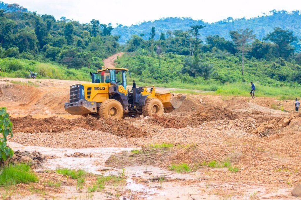
Because nearly half of the area’s mining footprints lie in immediate proximity to river channels, advanced spatial surveillance provides the technical baseline required to establish evidence-based buffer zones, protect aquatic habitats, and mitigate potential heavy-metal or sediment pollution risks.
Integrating geographic information technologies equips policymakers with the objective metrics needed to enforce environmental protection standards effectively.
Policy Recommendations and Reforestation Frameworks
The doctoral thesis, formally submitted to Hokkaido University’s Graduate School of Environmental Science on September 25, 2025, emphasizes that remote sensing tools must be embedded into national environmental governance frameworks.
The researcher concluded that combining high-resolution satellite telemetry, GIS spatial analysis, and ground-truth field measurements provides an optimized blueprint for continuous monitoring of illegal mining footprints and incremental forest degradation.
To safeguard the ecological integrity of the Atewa ecosystem, the study advocates for reinforced law enforcement, strict management of designated buffer-zone boundaries, and targeted reforestation of previously mined alluvial zones.
Without structured surveillance and stringent environmental enforcement, expanding extractive activities surrounding the reserve will continue to undermine critical carbon sinks, degrade regional water sources, and threaten one of West Africa’s primary biodiversity hotspots.
READ ALSO: Persistent Sadness, Sleep Changes May Signal Depression – Psychologist