

The World Meteorological Organization (WMO) has issued one of its strongest warnings yet over the intensification of El Niño, forecasting an “exceptionally high likelihood of nearly 100%” that the climate phenomenon will persist through February 2027 as exceptionally warm waters continue to build across the tropical Pacific.
According to forecasts from WMO Global Producing Centres, the current El Niño is expected to strengthen further in the coming months, reaching a very strong intensity before peaking towards the end of 2026. Although the oceanic phenomenon is expected to reach its maximum strength later this year, its effects on global temperatures and weather patterns could continue well into 2027.
UN Secretary-General António Guterres stated that “El Niño is being supersized before our eyes.”
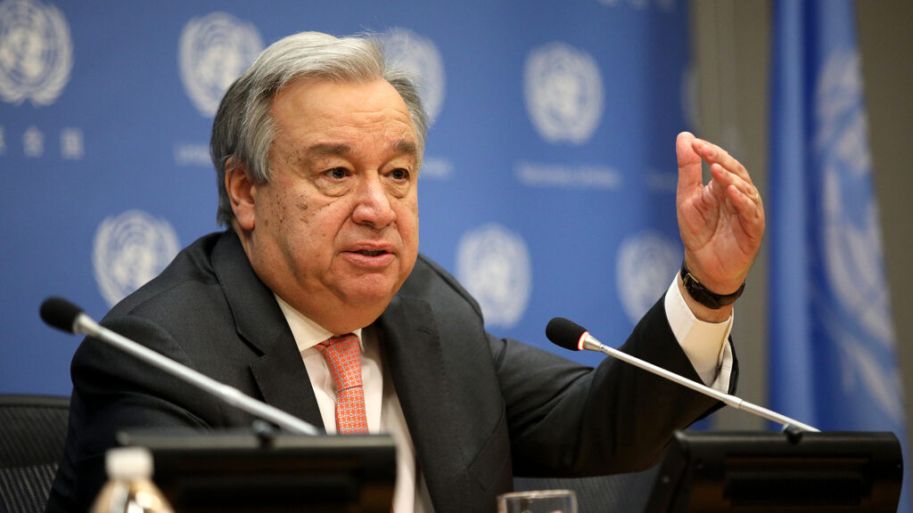
“The science leaves no room for doubt: the planet is in uncharted waters, and those waters are heating up. Sea surface temperatures are rising, temperatures keep climbing, and the world is in the danger zone of extreme weather. The race now is between rising risks and our commitment to take climate action and protect people. We must win that race.”
António Guterres
WMO indicated that the implications could extend far beyond the Pacific because El Niño can alter atmospheric circulation and reshape weather patterns thousands of kilometres away from where the phenomenon develops.
The repercussions, however, are not universal. Drought, flooding, unusually high temperatures, and seasonal rainfall fluctuations can all have starkly different effects on different places. The severity of El Niño’s effects varies by season, location, and interaction with other climate drivers.
The latest warning therefore represents not simply a forecast of warmer Pacific waters, but an early signal for governments and communities to prepare for potentially significant consequences across agriculture, water resources, health, energy and disaster management.
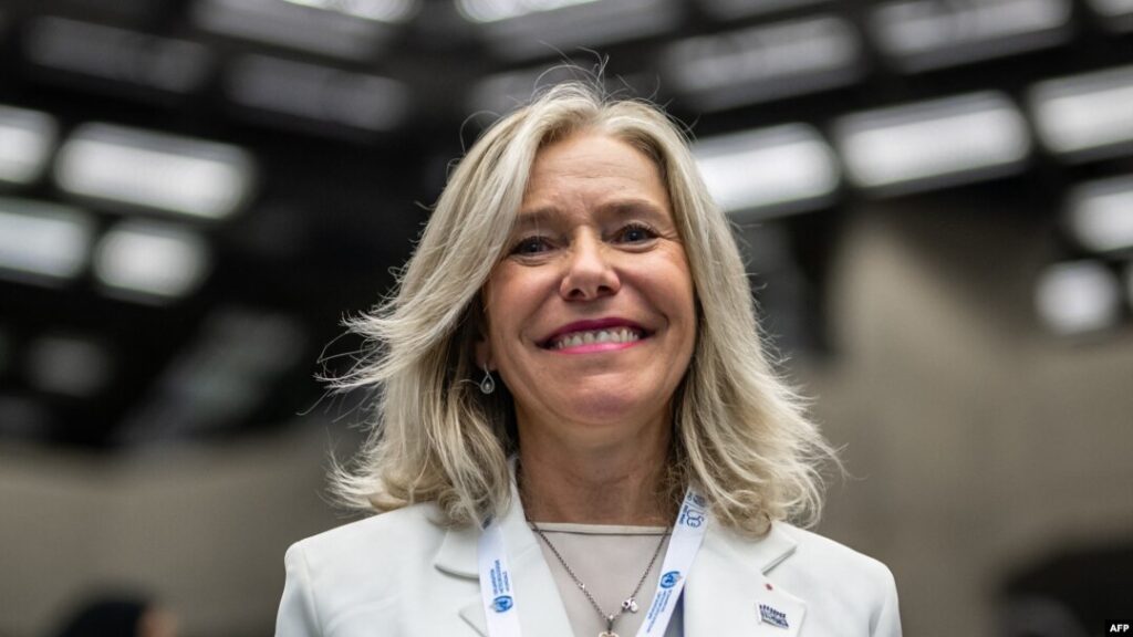
According to WMO Secretary-General Celeste Saulo, “El Niño has the potential to deliver a massive blow to communities and economies across the world. We are already seeing disruption and devastation from droughts and floods and we expect these impacts to increase as El Niño intensifies.”
“This exceptional El Niño demands exceptional preparation and response. Never before in the 50-year history of the World Meteorological Organization have we launched such a major mobilization with National Meteorological and Hydrological Services who are on the frontline of delivering the forecasts and services to save lives and livelihoods.”
Celeste Saulo
The WMO has consequently placed greater emphasis on early warning systems and anticipatory action, arguing that accurate climate information can give governments and vulnerable communities valuable time to prepare before extreme weather hazards occur.
The organisation has also warned that forecasts alone cannot prevent disasters. Effective preparation, coordinated planning and timely decisions will determine how successfully countries manage the risks associated with the event.
“WMO is committed to working closely with partners across the United Nations and humanitarian system to provide the climate intelligence and insights needed to support disaster management and climate-sensitive sectors like agriculture, health, energy and water resources.”
Celeste Saulo
She added, “We have no time to lose.”
Exceptional Pacific Heat Signals Further El Niño Intensification
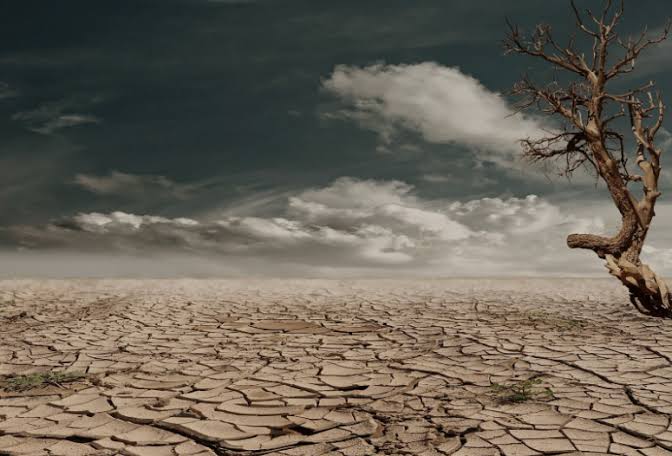
At the centre of the latest warning is the extraordinary warmth developing in the tropical Pacific.
The region most directly linked to El Niño, the central and eastern equatorial Pacific, has sea surface temperatures that are already far higher than average and are still rising.
The Niño 3.4 index, one of the principal indicators used to monitor El Niño, recorded an average temperature anomaly of approximately 1.5°C above normal between May and July 2026. That figure increased to about 2.0°C above normal in July.
Weekly measurements subsequently rose further between late July and mid-August, reaching approximately 2.2°C to 2.6°C above average.
The warming is not confined to the surface. Ocean temperatures beneath the surface were more than 8°C above average in some areas during July and early August, creating an unusually large reservoir of heat capable of reinforcing the warming at the surface.
The combination of exceptionally warm surface waters and even warmer subsurface conditions provides strong evidence that the current El Niño is continuing to intensify.
WMO’s earlier updates had already pointed to a strengthening event. In July, the organisation said El Niño was developing into a strong event and expected it to intensify during the August–October period, with above-normal temperatures forecast across much of the world.
The latest assessment goes further, indicating that the phenomenon could reach the organisation’s highest operational category of “very strong” in the coming months.
However, the WMO has cautioned against assuming that a very strong El Niño will automatically translate into equally severe conditions everywhere.
“El Niño and La Niña are among the most powerful naturally occurring influences on the global climate system,” the organisation stated, noting that a very strong event increases the likelihood of major changes in rainfall, temperatures and atmospheric circulation across many regions.
Yet the strength of an El Niño event alone does not determine the severity of its consequences in a particular country or region.
READ ALSO: Market Carnage Wipes Out GSE Gains