


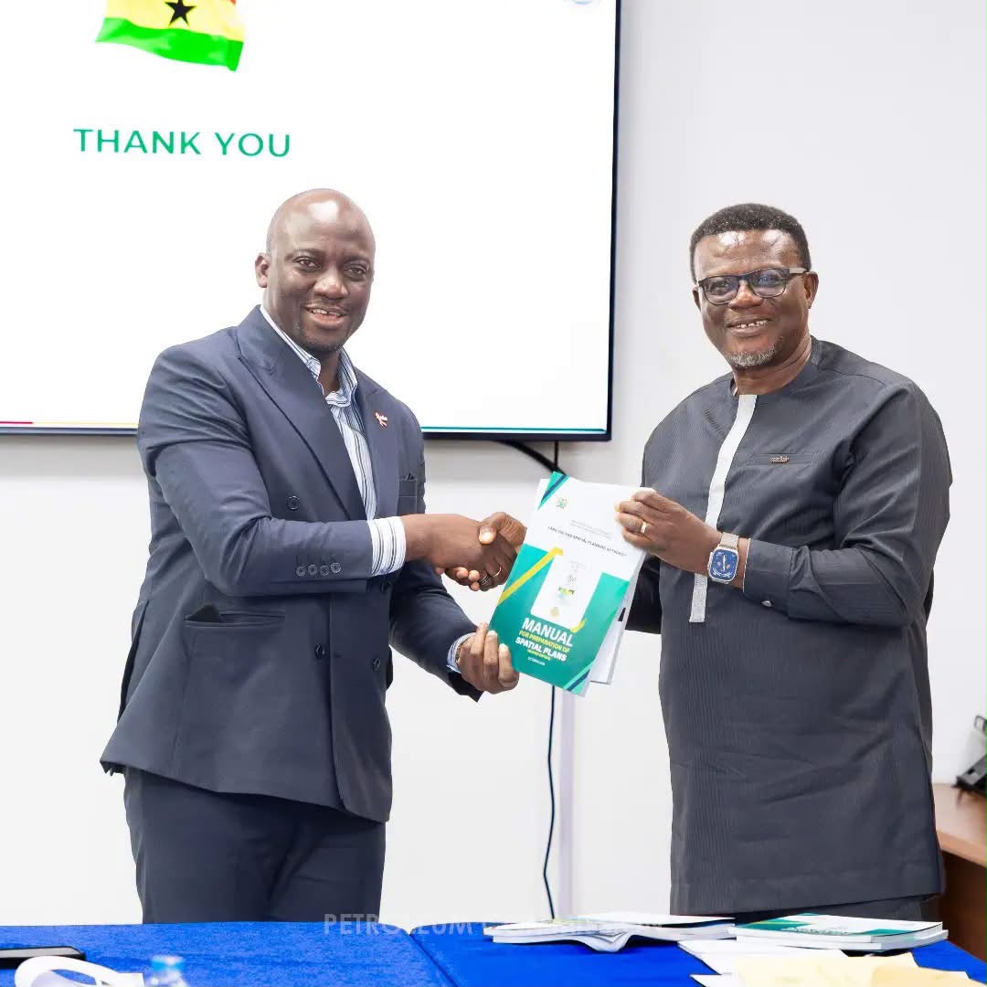
The Petroleum Commission, the Ghana National Petroleum Corporation (GNPC) and the Land Use and Spatial Planning Authority (LUSPA) are seeking stronger coordination to integrate petroleum-sector activities into Ghana’s spatial development plans, as pressure grows to balance resource development with competing demands on land and natural resources.
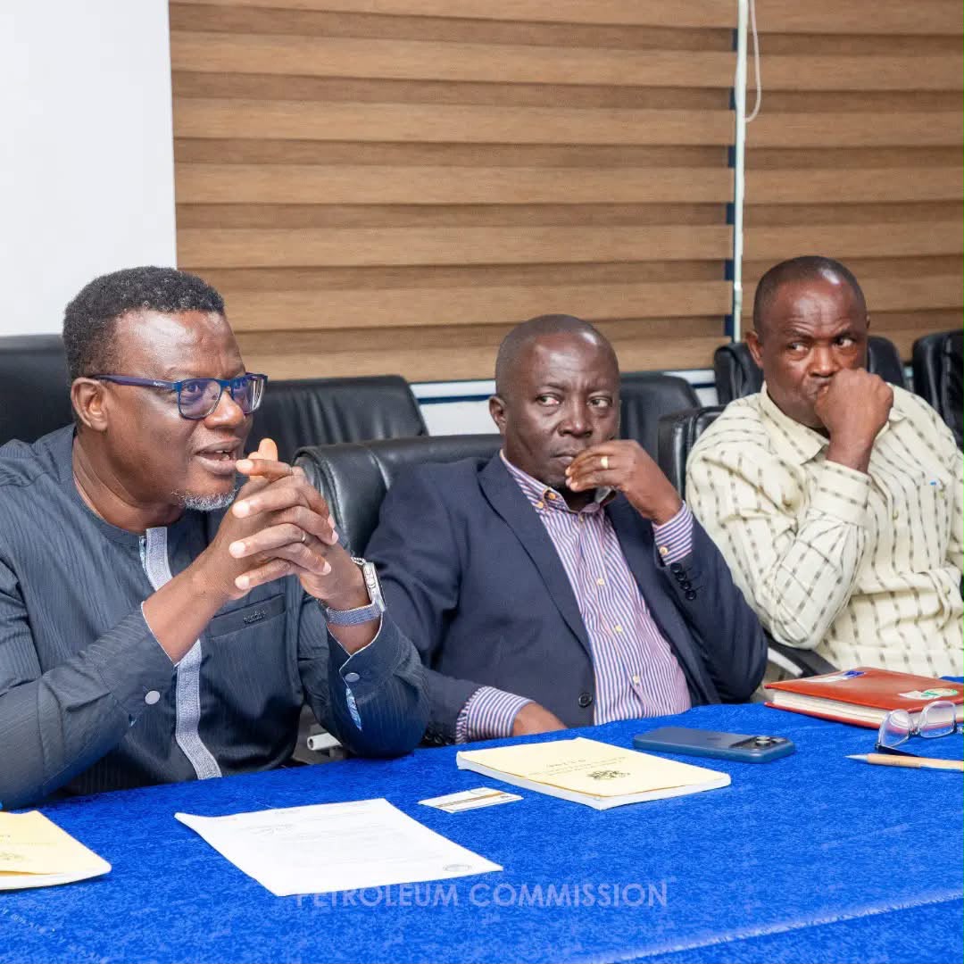
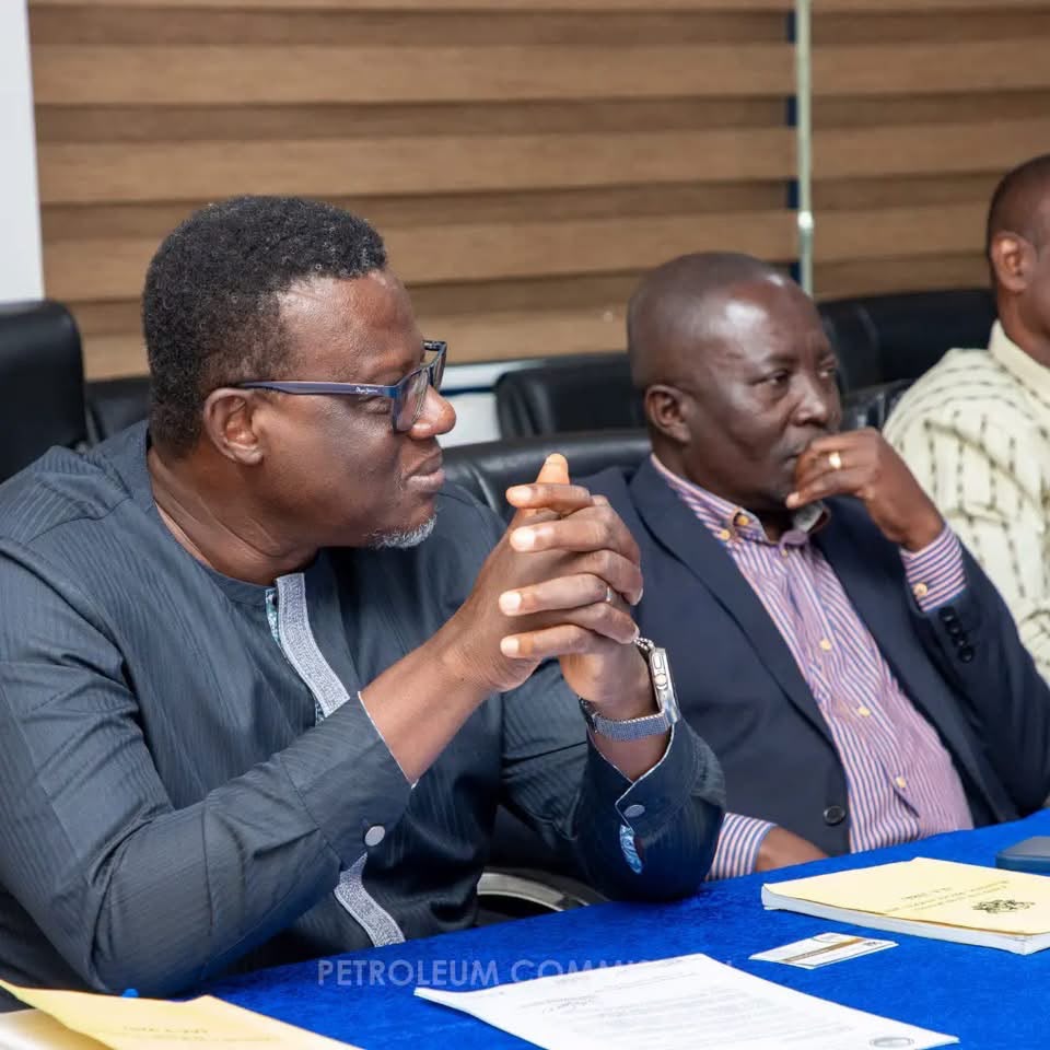
The engagement among the three institutions focused on improving land-use coordination, information sharing and institutional collaboration to minimise conflicts and support sustainable resource management.
The discussions bring into focus a planning challenge that extends beyond the petroleum industry: ensuring that oil and gas infrastructure, settlements, transport networks and environmentally sensitive areas are considered together before development decisions are implemented.
For Ghana, the effectiveness of that coordination could influence how efficiently petroleum infrastructure is developed, how communities accommodate industrial activity and how well public institutions anticipate conflicts over land.
Petroleum Development Requires More Than Investment
Petroleum exploration and production are often discussed in terms of reserves, drilling, investment and output. But the infrastructure supporting the industry also depends on decisions about where facilities can be located, how land is allocated and whether development is compatible with surrounding communities and the environment.

The Petroleum Commission regulates and coordinates Ghana’s upstream petroleum sector, while GNPC represents the state’s interests in petroleum exploration and development.
LUSPA, established under the Land Use and Spatial Planning Act, 2016 (Act 925), is responsible for supporting the country’s spatial-planning system and promoting the judicious use of land.
Closer coordination among the institutions could help bring petroleum-sector requirements into wider development decisions, rather than treating them as a separate planning exercise.
The distinction is important because conflicts over land can create uncertainty for developers and communities alike.
Where planning is fragmented, infrastructure proposals may compete with existing settlements, transport routes, agricultural activity or environmentally sensitive locations. Identifying those overlaps early can help institutions make better-informed decisions before projects advance.
Petroleum Hub Offers a Practical Test
Ghana’s proposed Petroleum Hub in the Western Nzema Traditional Area demonstrates the scale of coordination required when energy infrastructure and local development must be planned together.
LUSPA has previously worked with the Ministry of Energy on structure and local plans for the proposed hub in the Jomoro Municipality.
The plans cover the organisation of land for refineries, storage tanks, jetties, liquefied natural gas facilities, power generation and supporting infrastructure, alongside services and amenities needed within the development area.
The authority’s planning documents also recognise the need to coordinate the project with wider district, regional and national development frameworks, while accounting for environmental conservation and the growth of nearby settlements.
That experience provides a useful benchmark for the latest engagement. The challenge is not simply to identify land for petroleum facilities, but to establish how those facilities fit into the long-term development of the areas in which they are located.
LUSPA’s Petroleum Hub Structure Plan describes the purpose of such planning as follows:
“The scope and extensive nature of the Petroleum Hub requires that a Structure Plan is prepared to guide and coordinate orderly physical development considering its strategic nature in the country’s development agenda.”
The principle is relevant beyond the Petroleum Hub. As petroleum-related infrastructure and other economic activities develop, spatial planning can help public authorities assess competing land requirements and determine how infrastructure, settlements and protected areas should be managed.
Information Sharing Could Close Planning Gaps
The latest engagement specifically emphasised information sharing and institutional partnerships. These are important because each institution holds different information relevant to petroleum development, from upstream activities and infrastructure requirements to land-use plans and development-control considerations.
A more coordinated approach could enable planning authorities to account for petroleum-sector needs earlier, while allowing energy institutions to identify land-use constraints that may affect future development.
However, collaboration will only produce lasting results if it goes beyond meetings and general commitments.
Shared data must be current and accessible, institutional responsibilities must be clear, and spatial plans must inform actual development decisions.
The announcement of the engagement does not specify whether the three institutions have agreed on a formal data-sharing system, a joint implementation plan or deadlines for integrating petroleum activities into existing spatial frameworks.
Those details will be important in assessing whether the initiative leads to practical changes.
Environmental Protection and Community Interests Matter
The implications extend beyond project developers and government agencies.
Petroleum-related infrastructure can affect communities through changes in land use, demands on public services and the proximity of industrial facilities to residential areas.

Poorly coordinated development can also place pressure on wetlands, water bodies and other environmentally sensitive locations.
Ghana’s planning framework already recognises the need to balance economic development with environmental protection and orderly settlement growth.
LUSPA’s work on the Petroleum Hub, for example, includes provisions for protective buffers and green spaces around sensitive natural features, as well as measures to guide settlement expansion.
The Petroleum Commission has also engaged the Fisheries Commission on marine spatial planning, with discussions covering how offshore petroleum operations can be aligned with fishing activities and marine resource conservation.
That separate engagement highlights a related challenge: energy development must be coordinated with other legitimate uses of natural resources.
In a previous statement on marine spatial planning, the Petroleum Commission said:
“The Petroleum Commission is ready to contribute its technical expertise, operational data, and regulatory input to ensure the successful implementation of the MSP. This will strengthen marine governance and promote sustainable offshore activity.”
Although that statement concerned offshore planning rather than the latest land-use engagement, it illustrates the importance of combining sector-specific information with broader resource-management decisions.
For affected communities, the value of improved planning will ultimately depend on whether their land, livelihoods and local development needs are considered early enough to influence decisions, rather than only after disputes emerge.
From Engagement to Measurable Coordination
The three institutions’ engagement signals recognition that petroleum-sector development cannot be planned effectively in isolation from Ghana’s wider spatial development priorities. But the next measure of progress will be implementation.
A practical framework could involve regular exchanges of planning and petroleum-sector data, clearer procedures for assessing proposed developments against existing spatial plans, and coordination with relevant local planning authorities where projects may affect settlements or other land uses.
Such arrangements could help reduce avoidable conflicts, improve planning certainty and strengthen accountability for how land and natural resources are used.
For now, the institutions have emphasised the need for stronger collaboration, but no specific new project, binding agreement or implementation timetable has been announced in the information available.
The broader policy issue is clear: Ghana’s petroleum ambitions depend not only on its ability to attract investment and develop resources, but also on whether public institutions can coordinate the land, infrastructure and environmental decisions that make development sustainable.
The success of this engagement will therefore be measured not by the discussions themselves, but by whether petroleum-sector activities become better integrated into spatial plans and whether those plans guide decisions in practice.
READ ALSO: Ghana –FAO Deepen Agrifood Cooperation